Deepening Shallow Form
       
     
Shallow Form.jpg
       
     
Deep Form - KY.jpg
       
     
Deep vs Shallow.jpg
       
     
 Spanning the African content, the Sahel is a region defined not by politics but by climate.  Recieving 200-600mm of precipitation in a short rainy season, the boundaries of this area are defined but fluid over time, as weather patterns are extremely
       
     
 Looking at the 4 major rivers of the Sahel reveals a shared set of issues resulting from tensions in the relationship between people and hydrological systems, and pressure on water resources from forces of urbanization and environmental change
       
     
 From space we can see the disappearing of lake Chad, the largest inland lake of North Africa.  Diversion of rivers towards agricultural irrigation projects have caused the lake to shrink from 26000km²  to just 1500km² in just 40 years.
       
     
Rivers2.jpg
       
     
Tensions.jpg
       
     
Office du Niger 1.jpg
       
     
Site 1.jpg
       
     
Corridors.jpg
       
     
Wetland Pockets.jpg
       
     
Wetlands.jpg
       
     
Deepening Shallow Form
       
     
Deepening Shallow Form

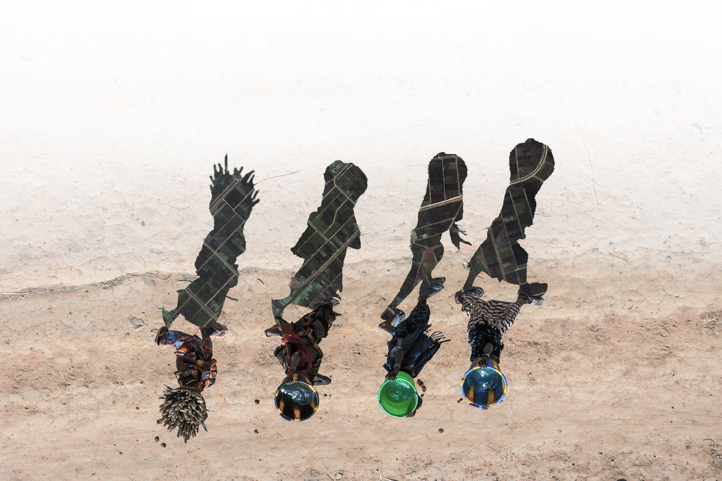
This project seeks to identify how landscape architects can work as mediators to integrate systems of modern agricultural production with cultural heritage and ecological process.

Shallow Form.jpg
       
     
Deep Form - KY.jpg
       
     
Deep vs Shallow.jpg
       
     
 Spanning the African content, the Sahel is a region defined not by politics but by climate.  Recieving 200-600mm of precipitation in a short rainy season, the boundaries of this area are defined but fluid over time, as weather patterns are extremely


Spanning the African content, the Sahel is a region defined not by politics but by climate. Recieving 200-600mm of precipitation in a short rainy season, the boundaries of this area are defined but fluid over time, as weather patterns are extremely dynamic from year to year.

 Looking at the 4 major rivers of the Sahel reveals a shared set of issues resulting from tensions in the relationship between people and hydrological systems, and pressure on water resources from forces of urbanization and environmental change


Looking at the 4 major rivers of the Sahel reveals a shared set of issues resulting from tensions in the relationship between people and hydrological systems, and pressure on water resources from forces of urbanization and environmental change

 From space we can see the disappearing of lake Chad, the largest inland lake of North Africa.  Diversion of rivers towards agricultural irrigation projects have caused the lake to shrink from 26000km²  to just 1500km² in just 40 years.


From space we can see the disappearing of lake Chad, the largest inland lake of North Africa.

Diversion of rivers towards agricultural irrigation projects have caused the lake to shrink from 26000km² to just 1500km² in just 40 years.

Rivers2.jpg
       
     
Tensions.jpg
       
     
Office du Niger 1.jpg
       
     
Site 1.jpg
       
     
Corridors.jpg
       
     
Wetland Pockets.jpg
       
     
Wetlands.jpg